Flag of Antarctica

Antarctica

AntarcticaAY December 12, 2025
Map of Antarctica
Locator map of Antarctica

Background

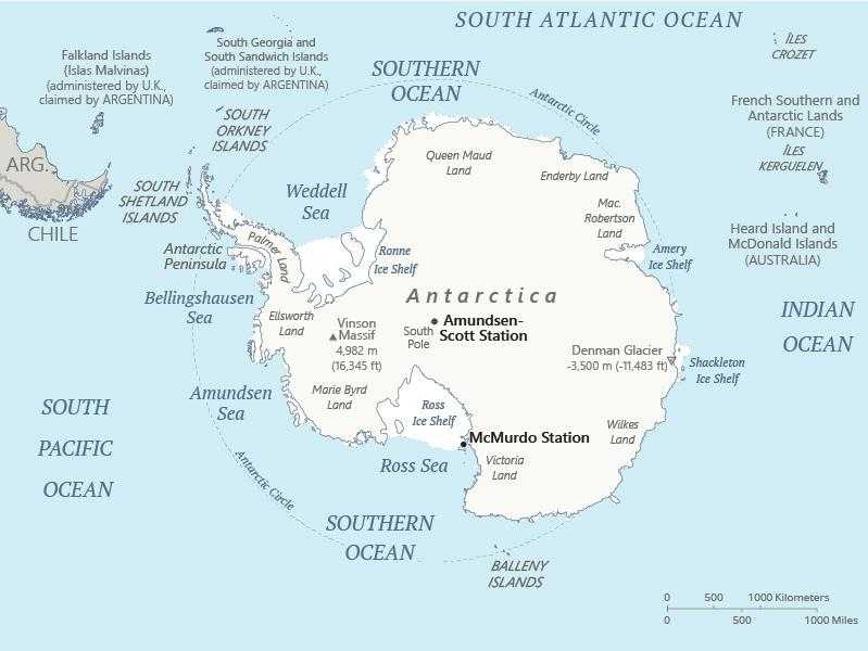
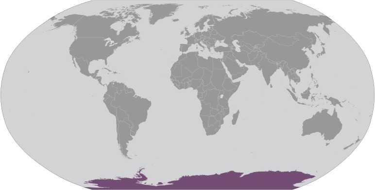
Speculation over the existence of a "southern land" was confirmed in the early 1820s when British and American commercial operators and British and Russian national expeditions began exploring the Antarctic Peninsula region and other areas south of the Antarctic Circle. In 1840, it was finally established that Antarctica was indeed a continent and not merely a group of islands or an area of ocean. Several exploration "firsts" were achieved in the early 20th century, but the area saw little human activity. Following World War II, however, the continent experienced an upsurge in scientific research. A number of countries have set up a range of year-round and seasonal stations, camps, and refuges to support scientific research in Antarctica. Seven have made territorial claims, with two maintaining the basis for a claim, but most countries do not recognize these claims. In order to form a legal framework for countries' activities on the continent, an Antarctic Treaty was negotiated that neither denies nor recognizes existing territorial claims; it was signed in 1959 and entered into force in 1961.  Also relevant to Antarctic governance are the Environmental Protocol to the Antarctic Treaty and the Convention on the Conservation of Antarctic Marine Living Resources.

Quick Facts

Population
No permanent inhabitants, but staff is present at year-round and summer-only research stations
Area
14.2 million sq km
Government
The Antarctic Treaty and its follow-on agreements govern the use of Antarctica, ensuring it is used only for peaceful purposes and scientific research; Signed in 1959 and in force since 1961, the original Treaty bans military activity, weapons testing, and nuclear waste disposal, while allowing military personnel to assist with research or other peaceful efforts; It promotes international cooperation in science, guarantees the free exchange of research, and freezes territorial claims; The Treaty covers all land and ice south of 60° South latitude, and allows Treaty nations to inspect any station or facility decisions are made by consensus at annual meetings, and member countries implement these decisions through their national laws (see “Legal system”); Additional agreements have strengthened the Treaty system, including conventions to protect seals (1972) and other marine life (1980), as well as an environmental protocol (1991, took effect in 1998); The protocol bans mining and includes strict rules on environmental impact, waste, pollution, wildlife, and protected areas; As of December 2024, there are 58 member nations: 29 consultative members, including the 7 claimant countries (Argentina, Australia, Chile, France, New Zealand, Norway, and the UK), and 29 non-consultative members; A permanent Antarctic Treaty Secretariat, established in 2004 in Buenos Aires, supports the system